
What is it about
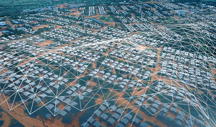
This article highlights an innovative partnership between UNHCR and the WorldPop Research Group to improve data collection and mapping of displaced populations. Traditional survey methods often fail in complex displacement contexts, especially for refugees living outside formal camps. To address this, the project combines UNHCR’s proGres registration database with satellite imagery and spatial modelling to generate high-resolution gridded maps of refugee populations. A pilot in Cameroon produced a 100m-resolution map, showing where refugees are most likely concentrated, enhancing survey planning and resource allocation.
When to use it
-
When designing surveys and sampling frames for displaced or dispersed populations.
-
When improving the geographic accuracy of refugee registration and population data.
-
When planning humanitarian interventions that require precise location information.
-
When integrating satellite imagery and advanced modelling into humanitarian data systems.